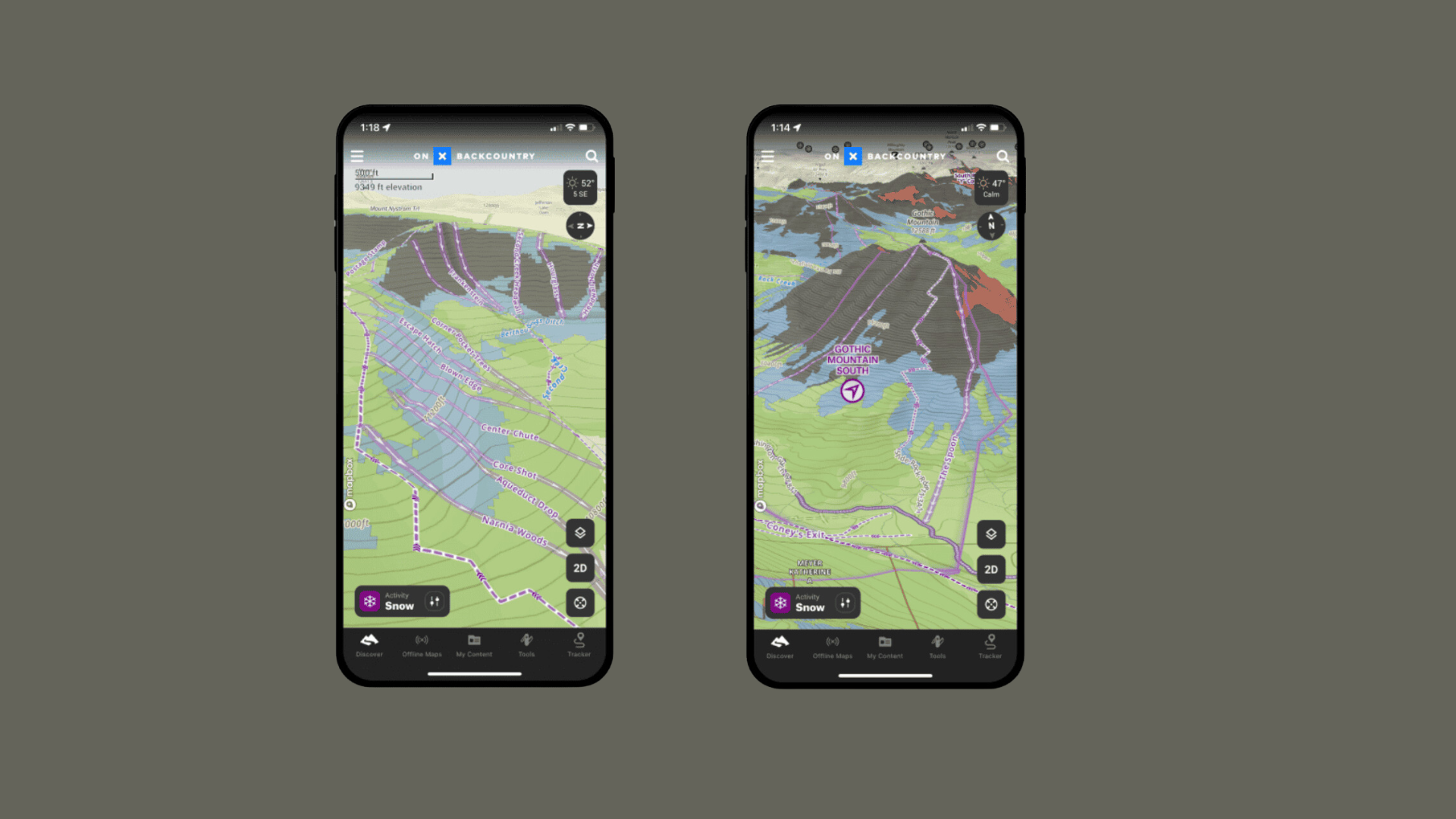
Last week, onX Backcountry became the first digital navigation app to integrate the Avalanche Terrain Exposure Scale (ATES). The new layer can be toggled on in Snow Mode to show four different colors for four different ratings: simple (green), challenging (blue), complex (black), and extreme (red).
“The daily avalanche forecast considers numerous important variables, such as temperature, snowfall, slope aspect, and elevation,” says onX Backcountry Product Manager Charlie Avis. “Some of these variables change daily or even by the hour. But there is one variable that will likely remain the same throughout the season: terrain. That is where ATES comes in–helping a skier or snowboarder understand whether the terrain where they plan to ski or board could expose them to an avalanche, regardless if the daily avalanche forecast is low, moderate, considerable, or even extreme.”
ATES classifies routes and areas of terrain according to the severity of exposure to avalanche hazard. Originally pioneered and developed by Parks Canada in 2003, ATES assesses 11 different terrain inputs:
• Slope angle
• Slope shape
• Forest density
• Terrain traps
• Start zone density
• Avalanche frequency
• Runout zone characteristics
• Interaction with avalanche paths
• Route options
• Exposure time
• Glaciation
To bring this classification into the app, onX collaborated with A3 Pro Member John Sykes to develop an algorithm (autoATES). Then, to ensure accuracy, onX worked with local avalanche forecasters to localize and verify ATES ratings, leveraging their local knowledge, expertise, and historical avalanche data.
“onX Backcountry’s introduction of ATES, and its additional Avalanche Runout and Avalanche Potential Release Area layers, have the potential to greatly improve users’ risk management and backcountry navigation,” says American Avalanche Association executive director, Jayne Nolan. “It’s clear that onX is committed to providing innovation and improvement within the avalanche industry, cementing themselves as a leader within the digital mapping space.”
App users can isolate individual inputs, like Avalanche Run Out and Avalanche Potential Release Area. And they will still be able to toggle on familiar layers like the Daily Avalanche Forecast, Slope Aspect, and Slope Angle. Current ATES coverage areas include zones in Colorado, Montana, and Utah. Coverage in additional regions will be added later this season, including Washington, California, Wyoming, and Alaska, as well as expanded regions in Colorado and Montana.
Want to learn more about the latest advances in digital mapping and navigation? Check out TAR 42.2, arriving in your mailbox early December 2023. Not a subscriber? Click here to subscribe!